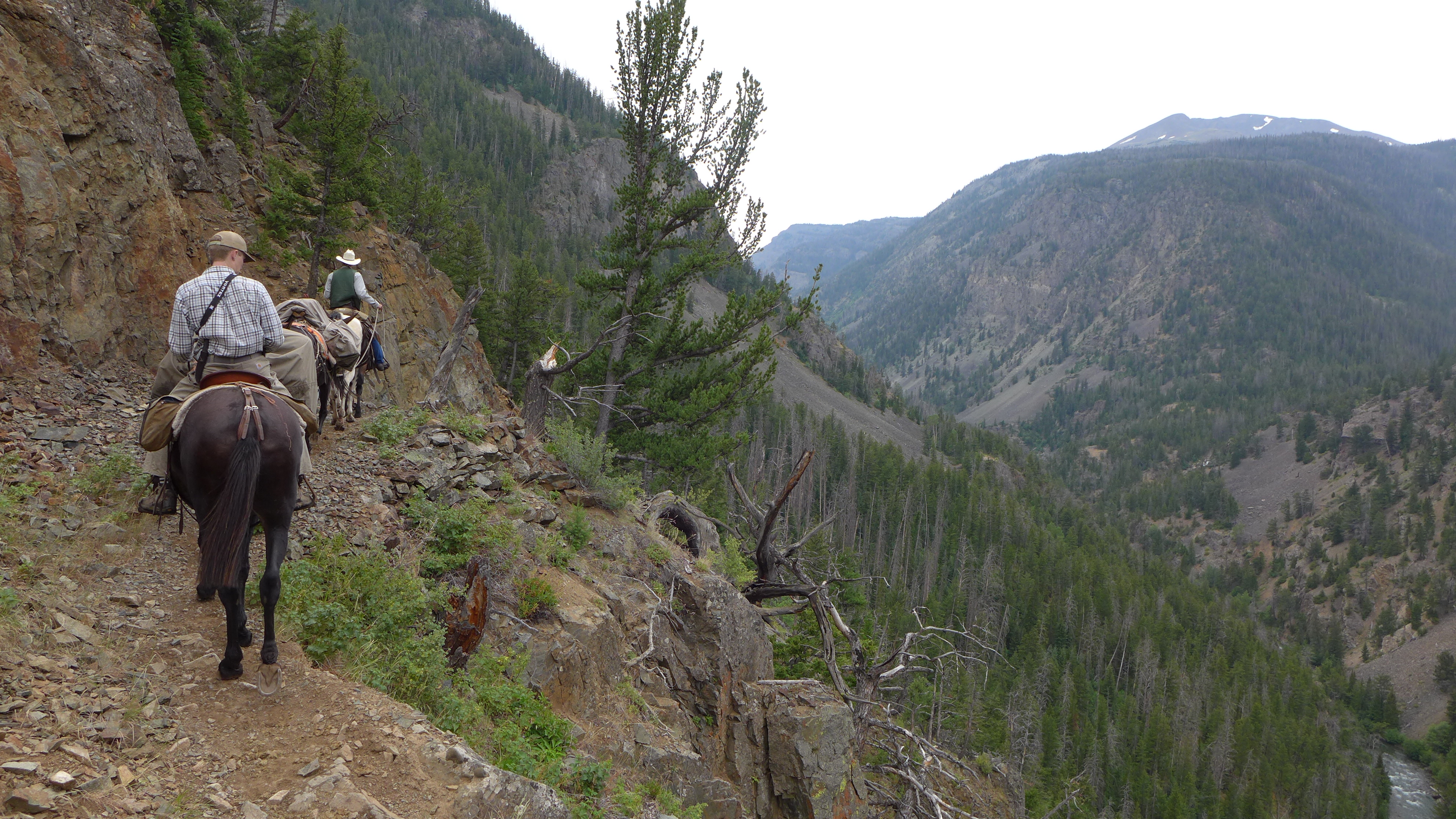
WSGS geologists used horses and mules to pack in supplies for a week of field mapping on The Ramshorn quadrangle last summer. They rode in 20 miles along the South Fork Shoshone River to a basecamp in Bliss Creek Meadows, where they camped and mapped for the week. 1/2

No comments:
Post a Comment